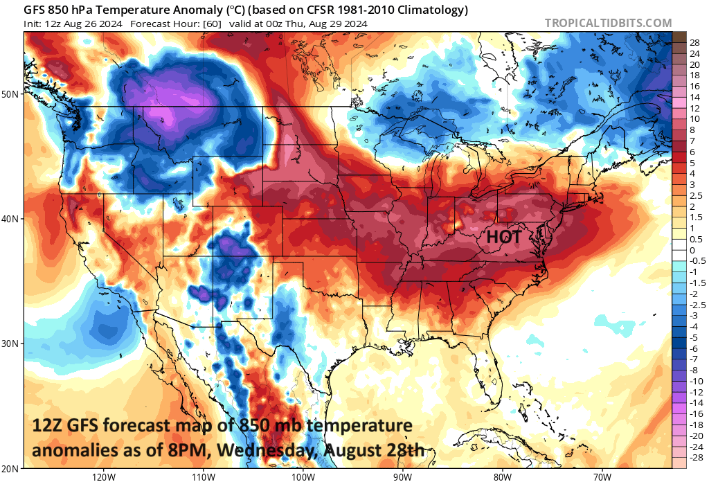
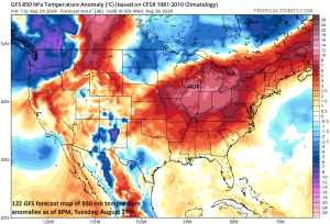
Well above normal temperatures on Tuesday evening will extend all across the Midwest, Mid-Atlantic and NE US.
A strong cold front will slowly works its way across the northern US during the next few days reaching the Great Lakes region on Tuesday and then the Mid-Atlantic by Wednesday night. This system is creating strong-to-severe thunderstorms on Monday night across much of the Northern Plains extending from South Dakota-to-central Minnesota and to the east of there over the Upper Midwest state of Wisconsin. The threat of strong-to-severe thunderstorms will translate east on Tuesday to the Great Lakes and then to the Mid-Atlantic region by late Wednesday and Wednesday night.
Ahead of this front, temperatures on Monday are climbing to well above-normal levels across much of the northern US. The heat will continue to be high on Tuesday across the Midwest and then will peak in the Mid-Atlantic region on Wednesday. In fact, the high temperatures on Wednesday afternoon in the Mid-Atlantic’s I-95 corridor might be in the upper 90’s in DC and middle 90’s from Philly to NYC. Following the frontal passage, temperatures will drop sharply and highs by Friday afternoon in much of the I-95 corridor may be in the 70’s.

Well above normal temperatures on Wednesday evening will extend across the Ohio Valley and Mid-Atlantic region, but a cold front will be approaching from the north and thunderstorms will eventually cool off the atmosphere in those sections.
The impact of this weather scenario will be for high “Home Run Forecast Index (HRFI)” values (e.g., 9’s and 10’s) from the Midwest to the Mid-Atlantic during the next few days. High HRFI values of “9” and “10” indicate weather conditions are most favorable for baseballs to travel…in other words, most favorable for the hitting of home runs and scoring of runs. The affected stadiums on Monday that will have the potential of lots of runs and home runs include, for example, those located in Cleveland, Pittsburgh, Minneapolis, St. Louis and Pittsburgh. On Tuesday, likely with high HRFI values include those to be played in Detroit, Cincinnati, Cleveland, Washington, D.C., St. Louis and Chicago (White Sox). On Wednesday, the Mid-Atlantic games in DC and Philly, for example, could still be feeling the effects of the temperature surge (to well up into the 90’s in many spots), but thunderstorms will have to be monitored as the cold front arrives. Any thunderstorm can quickly cool off the atmosphere and drop the high HRFI values to moderate levels. The HRFI is updated on an hourly basis and should reflect the passage of the cold front on Wednesday should it occur during game time.
Meteorologist Paul Dorian